 (2).png)
 6 months ago
351
6 months ago
351
Deep South Texas and the Rio Grande Valley can look forward to continued hotter-than-normal weather May through July, according to the latest outlook from the National Weather Service Brownsville/RGV station.
NWS meteorologists said heat risk is expected to be minor to moderate through the first half of May, but really pick up in late May into June as the potential increases for development of a “heat dome,” an unwelcome high-pressure phenomenon that traps hot air, keeps away precipitation and prevents nighttime cooling. The Valley endured dangerous temperatures last August thanks to a heat dome parked over the region nearly the entire month.
 A man walks shirtless through a parking lot as excessive heat consumes South Texas on Wednesday, June 21, 2023, in Edinburg. (Joel Martinez | jmartinez@themonitor.com)
Rainfall odds remain a toss-up, meanwhile, what with the current El Nino/Southern Oscillation (ENSO) Neutral state, they said.
ENSO is a recurring climate pattern of heating/cooling of the surface waters of the central and eastern tropical Pacific, with the oscillation occurring roughly every three to seven years, according to the NWS. El Nino (warming of the ocean surface) and La Nina (cooling) are the extremes of ENSO.
El Nino tends to produce wetter and cooler than normal winter weather in South Texas, the Gulf Coast and the Southeast, while La Nina tends to do the opposite. The “Neutral state” is neither El Nino nor La Nina but somewhere in between, with tropical Pacific ocean surface temperatures near average and rainfall trends difficult to predict.
With the historic March 26-28 rains in the rear view mirror, residents still need to be on the lookout for the possibility of severe thunderstorms, including high winds, hail and frequent lightning, and heavy rainfall and localized flooding as spring transitions into summer, according to the May-July outlook, according to the outlook.
For example, meteorologists are forecasting potentially heavy rainfall and flash flooding for the Valley this weekend.
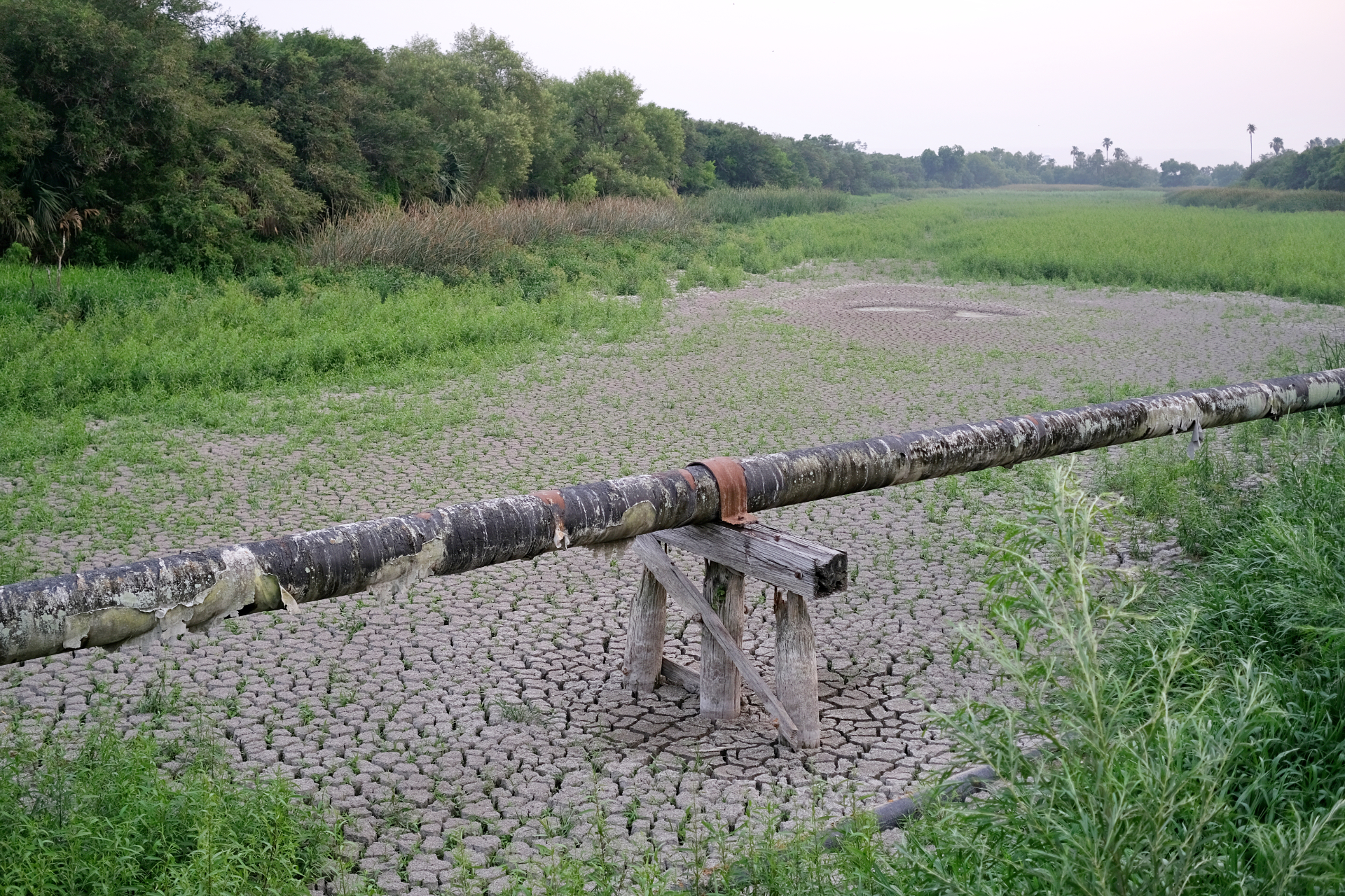
Longer term, minimal rainfall production May into June would mean increasingly drier soil due to higher temperatures and evaporation in June. Or, occasional rain would stave off a return to (or expansion of) drought from Hidalgo and Brooks counties to points east, including the Lower and Mid-Valley.
“Moisture influx and rain chances are expected to continue increasing through May and possibly into June, despite precipitation odds being a toss-up,” meteorologists said.
The NWS said there’s 60-80% confidence that hotter-than-normal temperatures will continue in May through June, and near 100% certainty that combined water storage levels in Amistad and Falcon international reservoirs will remain at or near record lows through July.
“Steady to near steady trends in storage levels are expected to continue, and levels may begin to drop slowly as evaporation rates increase through July,” according to the NWS. “A water supply crisis will continue for some and could grow for others as local benefits from the March 26-28 flood event have ended, or could end without additional rain.”
 A view of a dry resaca along Texas State Highway 100 Thursday, May 16, 2024. (Miguel Roberts/The Brownsville Herald)
This is especially true for Hidalgo and Brooks counties, the NWS said. For Cameron and Willacy counties, drought concerns are kept at bay for the time being thanks to beneficial rains April 20-21.
“With the heaviest rain from March and April concentrated over the southern parts of Hidalgo into northern Cameron, and southern and eastern Willacy counties, water tables and underground water reserves in these counties remain in a better position to handle any lengthy dryness that develops compared to areas further west — in particular Zapata, northern Jim Hogg (and) northern Brooks (counties),” meteorologists said.
Despite record rains in March, followed by some rain in the Lower Valley in April, it wasn’t enough to ease limits on agricultural and municipal water usage for portions of the Valley, they said.
“Continue to conserve water as often as possible at home, at work, and on the farm or ranch,” the NWS advised. “Increasing evaporation rates through June, especially without sufficient rainfall, can turn a soil moisture surplus into a slight deficit by the end of the period.”
The post NWS predicts Valley will see hotter than normal temps from May to July appeared first on MyRGV.com.


 English (US)