 (2).png)
 2 weeks ago
43
2 weeks ago
43
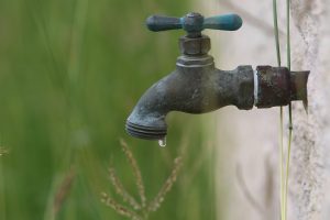 A faucet drips on Tuesday, April 30, 2024, in Pharr. (Joel Martinez | jmartinez@themonitor.com)
Like rain, good news is in short supply in the May-July outlook for the Rio Grande Valley and deep South Texas ranchlands from the National Weather Service Brownsville-RGV station.
As expected, April came in hotter and drier than average for nearly all areas, with the region experiencing only one significant, widespread rain/thunderstorm event during all of spring, on March 15-16, noted NWS Warning Coordination Meteorologist Barry Goldsmith.
“This time last year, we had seen five such rain/thunderstorm events, including a trifecta of severe weather events between April 21 and April 29,” he said.
As May kicks off, active severe weather and potentially flooding rain is forecast to stay well north of the Valley and ranchlands, with heat, humidity and rain-free conditions likely to persist at least through May 10 and possibly longer, which “could set the stage for even more heat to dominate the three-month period.”
Further, if La Canicula develops by June, deep South Texas would be on track for the third top-five hottest May-July periods (2022-2024) for most of the region, Goldsmith said. “La Canicula” is an atmospheric heat dome that sometimes extends from southwestern Texas, southeastern New Mexico and the Mexican states of Coahuila and Chihuahua, and penetrates the Rio Grande Valley.
Unless forecasters are way off the mark, the water situation will not improve, only worsen.
“The combination of accumulated heat, below average rainfall and reservoir levels beginning at or near calendar-day low records to begin May would ensure a continuation or expansion of municipal and agricultural water restrictions — and perhaps a crisis situation for some,” Goldsmith said. “Emergency declarations are already in place for Cameron and Hidalgo counties.”
Temperatures through April 28 rank among the top-10 hottest on record that Brownsville, Harlingen and McAllen have endured, he said. Despite a couple of widespread rain events in February and March, heat and frequent wind more recently continues to take a toll on the soil’s ability to hold moisture, Goldsmith said.
Among the outlook’s key points are a roughly 55% probability of above-average temperatures, meaning above-average evaporation and “little to no soil moisture retention.” One or more locations in the region could, by the end of July, go on record for their hottest first seven months of the year, period, according to NWS.
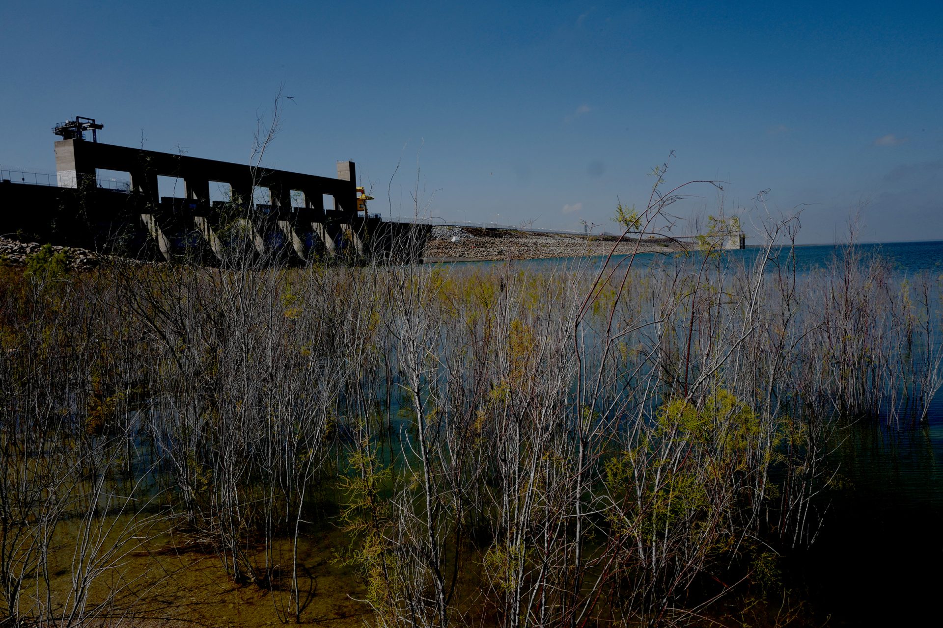 Falcon International Reservoir seen Wednesday, Feb. 21 2024, in Zapata County. (Delcia Lopez | dlopez@themonitor.com)
Even if one or two more widespread rain events via thunderstorm systems happen in May or early June, meteorologists have high confidence that this year will fall far short of 2023, which saw 11 such rain events during the spring, NWS said. Based on the current forecast, Amistad and Falcon reservoirs will be stuck at or near record low levels, with the U.S.-Mexico share of Amistad-Falcon remaining well below 25%, meteorologists are predicting.
“The only hope at this point is for a tropical event, a slow-moving tropical disturbance, storm or hurricane, to drop abundant rainfall on the (reservoir) watershed,” Goldsmith said. “Historically, the best opportunity for such an event would be in mid- to late June.”
However, despite expectations of a very active Atlantic hurricane season, forecasters anticipate La Canicula will extend into the western Gulf of Mexico, shutting down tropical activity and shunting any Caribbean or southwestern Gulf cyclones well south of the Valley and the Lower Rio Grande watershed, he said.
Goldsmith noted that “water restrictions may turn into water limitations for many jurisdictions who rely on the Rio Grande as their water supplier.”
“Water conservation is critical until further notice,” he said.
The post NWS outlook: Valley faces increasing hot, dry conditions appeared first on MyRGV.com.


 English (US)