 (2).png)
 2 weeks ago
48
2 weeks ago
48
The National Weather Service Brownsville-Rio Grande Valley station released its April-June outlook for the Rio Grande Valley on Good Friday, though there wasn’t much else good about it.
Let’s start with the “reservoir situation,” which meteorologists expect to “remain dire.”
“Confidence remains high on a continuation of record to near-record low reservoir levels … at Amistad (Reservoir), which is critical to how much water could be distributed downstream to Falcon (Reservoir) during the peak of the spring growing seasons,” according to NWS Warning Coordination Meteorologist Barry Goldsmith.
That confidence is based on a persistent forecast — at least through July — for below-average rainfall over the watersheds/tributaries feeding those reservoirs, he said. Meteorologists are also increasingly confident in the likelihood of “building heat” starting as early as mid- to late April, but more likely in May and June.
The forecast for Valley rainfall is “somewhat uncertain,” Goldsmith said, as a powerful El Nino at the start of the outlook period is expected to quickly flip to neutral by the end of June. The El Nino climate pattern is characterized by warmer-than-usual surface waters in the eastern equatorial Pacific Ocean, which typically translate into warmer and drier than usual conditions in the northern United States and Canada, and more rain and flooding for the U.S. Gulf Coast and Southeast.
“Spring El Nino conditions can be favorable to rainfall,” Goldsmith said. “We saw this in April 2010. But other unforeseen factors can influence individual rainfall events.”
Systems of thunderstorms are responsible for most spring rains, and if several such systems sweep through the region in April and June, seasonal rainfall would be above average to well above average, he said, though that’s a big “if.” While between March 28 and June 8 last year, the Valley had up to 11 “coverage rain” events, this year meteorologists are expecting probably less than half that number, Goldsmith said.
So far this spring there’s been exactly one coverage rain event, though the precipitation fell mostly across Brush Country and Coastal Plan ranch areas in Zapata through Kenedy counties, he said. However, even if there are fewer such rain events this year, each one can pack a punch, Goldsmith said.
“Even if fewer rain events occur this spring, those in mid-April through mid-June could be capable of producing damaging wind, large hail and local flooding,” he said. “Lightning would be a factor in all cases.”
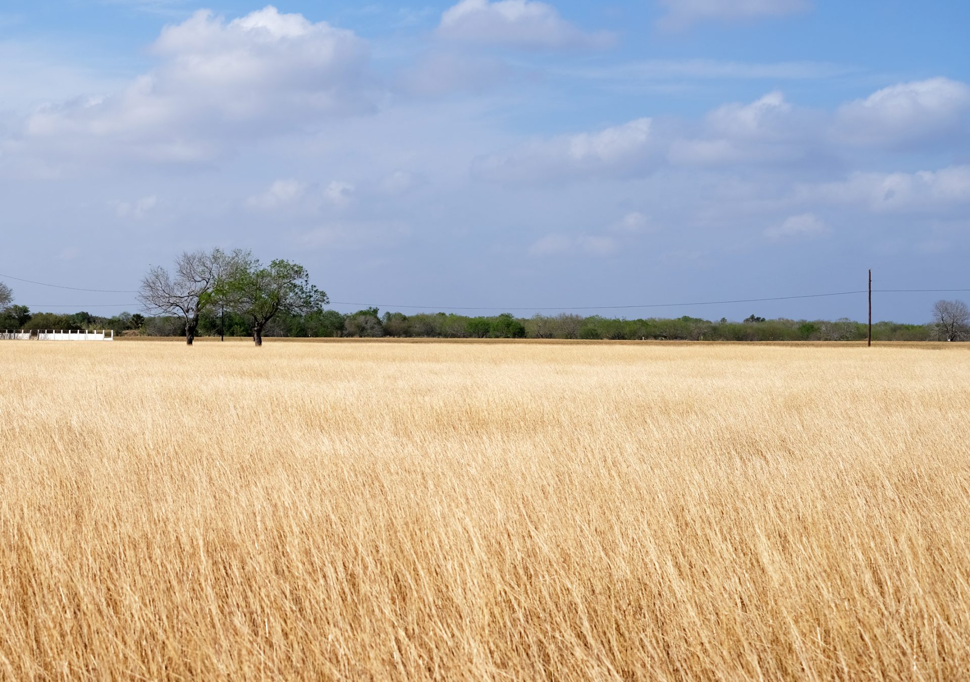 Dry weather continues throughout South Texas Friday afternoon, Feb. 24, 2023, near Harlingen. (Miguel Roberts/The Brownsville Herald)
Although the outlook doesn’t explicitly anticipate returning to drought, Level 1 or higher, a persistent pattern of breeze and wind, increasing heat and rare thunderstorm systems, or those with isolated impact, would return some locations to Level 1 to Level 2 (moderate to severe) drought conditions, Goldsmith said.
Most vulnerable would be areas along and west of I-69C (Hidalgo and Starr counties), then north and west to Zapata, Jim Hogg and Brooks counties later in the seasons, he said, adding that wildfires as always are a big concern with such conditions.
“Above average heat, developing drought and gusty winds could combine with low humidity situations to increase the threat for rapid wildfire growth, especially in May and June,” Goldsmith said.
The post NWS outlook for Valley predicts continued dire situation for reservoirs appeared first on MyRGV.com.


 English (US)